The 2021 snowmageddon brought some record low temperatures to many areas of Texas. But those low temperatures didn't come close to the coldest ever recorded in the state.
Hot has been the keyword for the summer of 2023. While a select few, like myself, have enjoyed it, a majority want to see these 100 degree days come to an end.
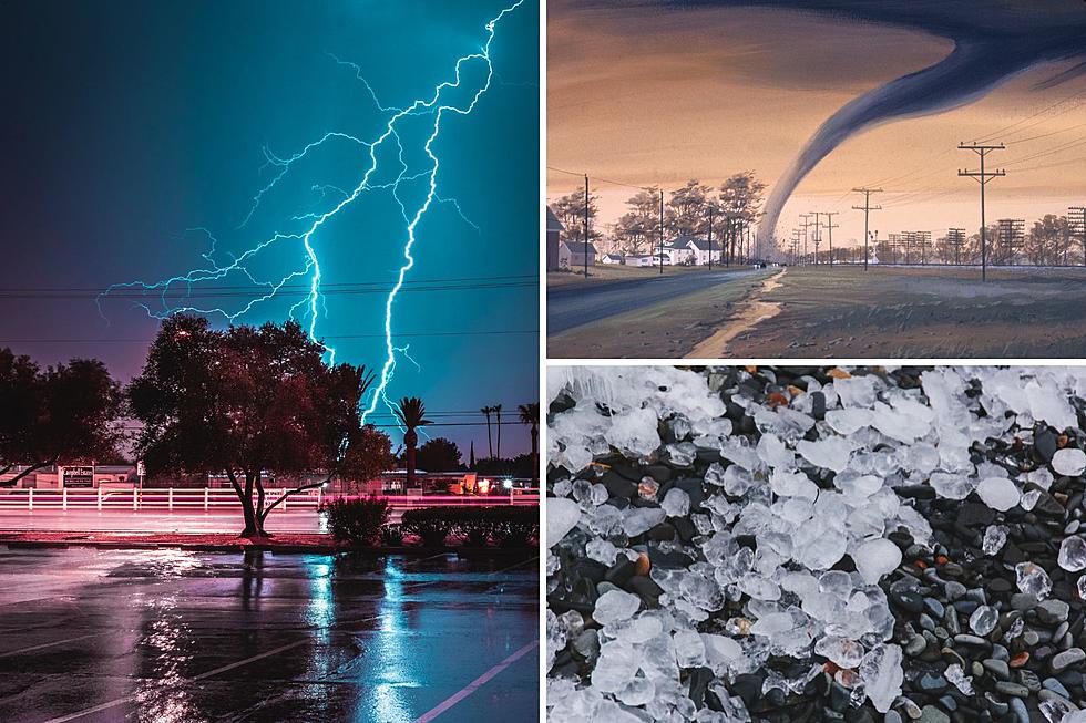
The most recent data from the National Weather Service's Storm Prediction Center shows the numerous severe weather events Texas has witnessed this year.