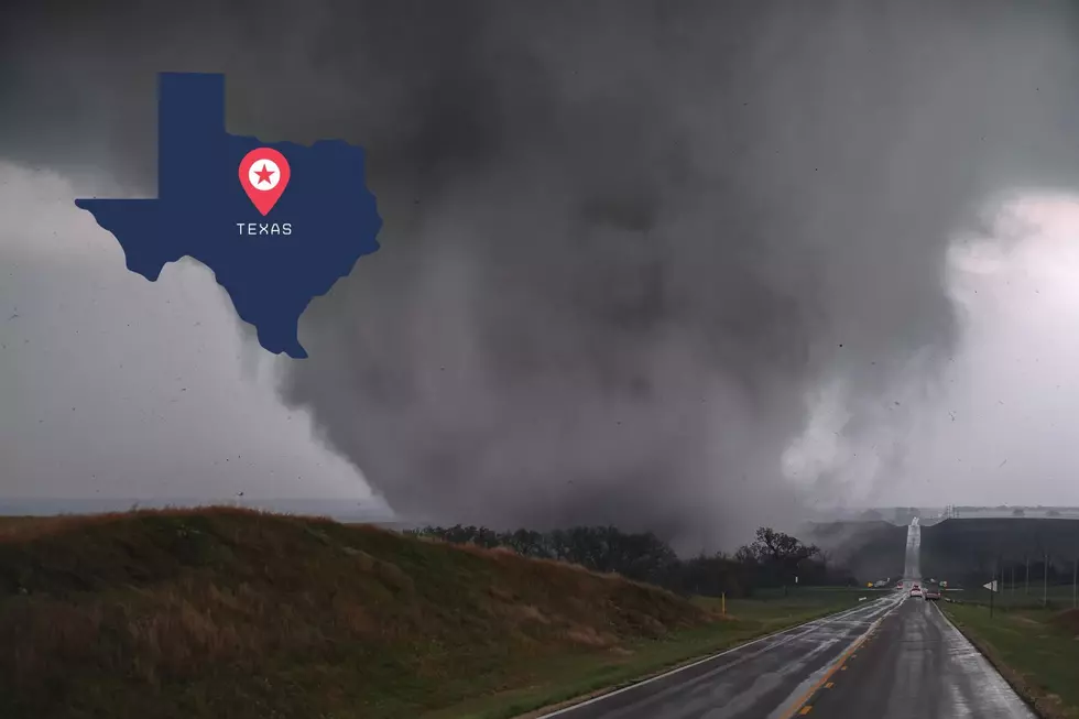
Severe Weather Possible in East Texas on Thursday
The National Weather Service is predicting storms across East Texas on Thursday morning, and some of them could reach severe limits.
NOAA weather models are showing a developing low pressure system over the Southwestern U.S. and is predicted to move into Western Texas by Wednesday evening and across East Texas Thursday morning.
Moisture moving northward from the Gulf of Mexico will interact with a cold air mass increasing the probability of severe weather and the threat of very strong gusty winds and hail. Tornado activity appears to be low at this time.
East Texans are encouraged to keep up with the latest weather information during the next 24 hours.
More From 101.5 KNUE


