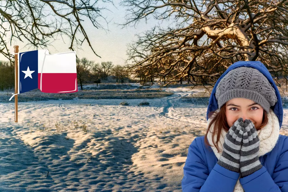
East Texas Lucks Out of Round One of Winter Weather — Can We Be Lucky With Round Two?
Many East Texans thought they were going to wake up to a winter wonderland thanks to freezing rain that was expected overnight, but that didn't happen. The morning went on as normal with the exception of a few school districts that opted for a late start this morning. Will we be as lucky this afternoon?
According to meteorologist Cedric Haynes at KLTV, we could expect another round of wintery mix across the I-20 corridor and our central counties that could include rain, sleet, freezing rain and the possibility of snow north of I-20 into our northern counties.
Winter weather advisories remain in effect through tomorrow morning for the following counties:
- Franklin
- Titus
- Camp
- Morris
- Cass
- Wood
- Upshur
- Marion
- Smith
- Gregg
- Harrison
- Cherokee
- Rusk
- Panola
- Shelby
A winter weather advisory means there is a chance of sleet and freezing rain and according the forecast from the National Weather Service, if this storm develops as predicted, ice accumulations should remain below a quarter of an inch. The timing and temperatures are the key players in the next storm. Keep it here and we'll keep you updated from Mix 93-1 and the StormTracker 7 weather center.
Remember, be cautious on the roads and if there are any early school closings or delays for tomorrow morning, we'll keep you updated.
More From 101.5 KNUE